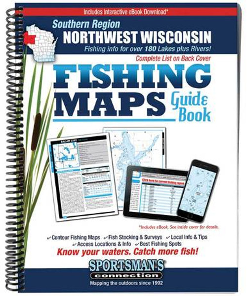
The Northwest Wisconsin Southern Region Fishing Maps Guide Book by Sportsman's Connection is a thorough, easy-to-use collection of detailed contour lake maps, fish stocking and survey data, and the best fishing spots and tips from area experts. Fishing maps, detailed area road maps and exhaustive fishing information are provided. The book features Rice Lake, Lake Chetek, the Holcombe Flowage, Pokegama, Balsam, Deer, Bone, Wapogasset, Yellow and many others. This volume is sure to please Eau Claire, Menomonie, River Falls and Twin Cities area anglers. More than 190 lake maps are included in Barron, Burnett, Chippewa, Dunn, Eau Claire, Pierce, Polk, Rusk and St. Croix Counties. Whether you're chasing giant sturgeon on Big Yellow, muskies on the Holcombe flowage or walleyes on the St. Croix River, you'll love this guide to help you!
Spiral-bound softcover measures at 8.5 in. x 11 in. and contains 224 pages.
ISBN: 9781885010223
Sportsman's Connection, based in Superior, Wisconsin, is a leading publisher of regional fishing map guide books for twelve states and atlases and field guides for five states.


